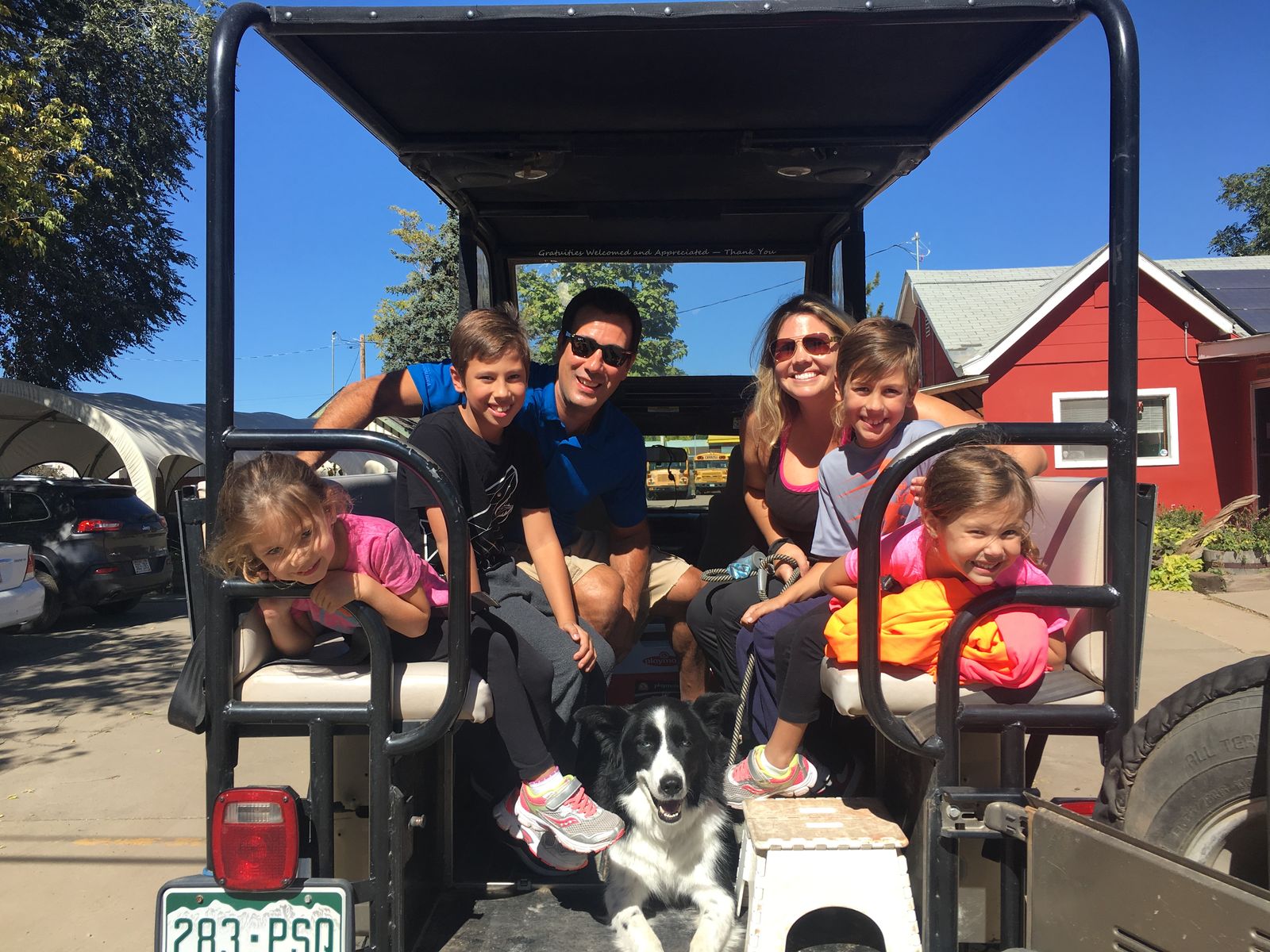
Things to do with kids on Vacation Planning your Colorado vacation for many means finding fun things to do with kids, and Colorado has got you covered. Get your itinerary planner out and get ready to start adding to your hit list....
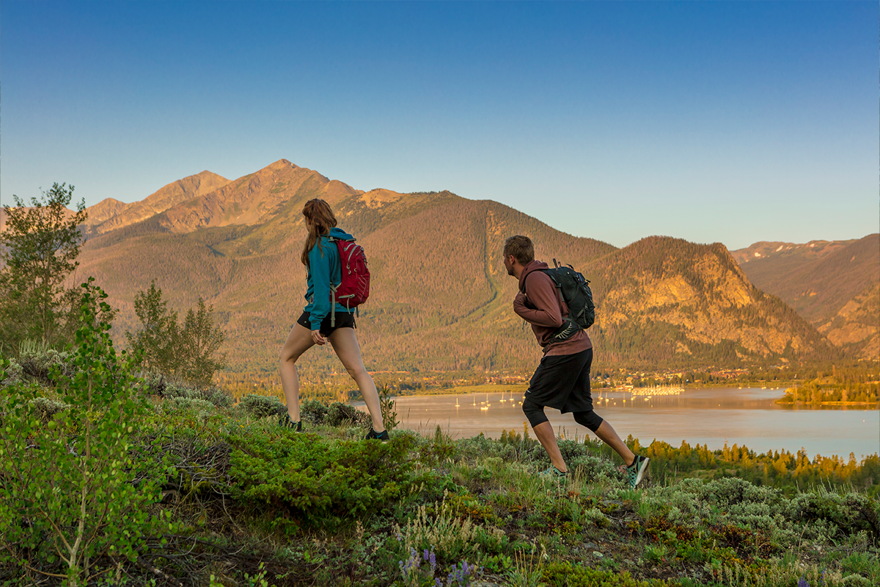
Goodbye Winter, Hello Spring Goodbye winter, hello to spring! Although there’s still plenty of snow at higher elevations, and will be for months, the cold rush of winter is starting to abate. Depending on where you live, daffodi...
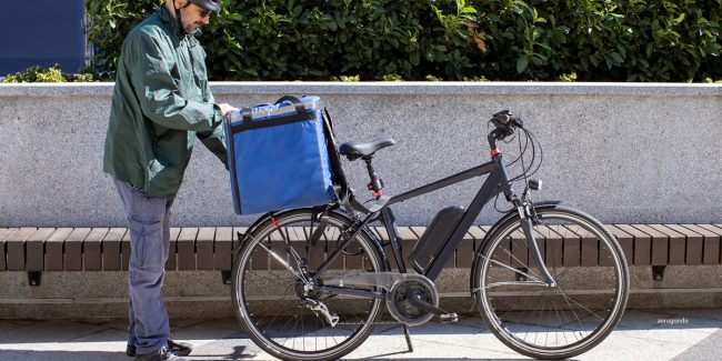
Get the E-bike Tax Credit Colorado’s love affair with e-bikes is about to get significantly boosted thanks to the state’s new e-bike tax credit program, launched on April 1st, 2024. This program offers residents a chan...
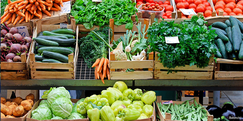
Shop Colorado Farmers Markets – eat local This summer, shop at a local farmers market or have your fresh produce and handmade goods delivered right to your door. Either way, you can count on enjoying the best that Colorado h...
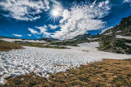
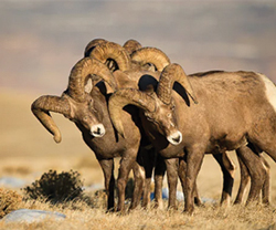
The Royal Gorge Wildlife includes amazing fishing and bird-watching opportunities, among others. Keep your eyes open for deer, bighorn sheep, bear, eagles and other birds of prey if you’re in Royal Gorge wildlife areas. Grab...