Colorado U.S. Route – Highway 285
Highway 285 is a north-south route, running 846 miles through Texas, New Mexico and Colorado. The endpoint in Colorado has always been Denver.
Railroad Route – Highway 285
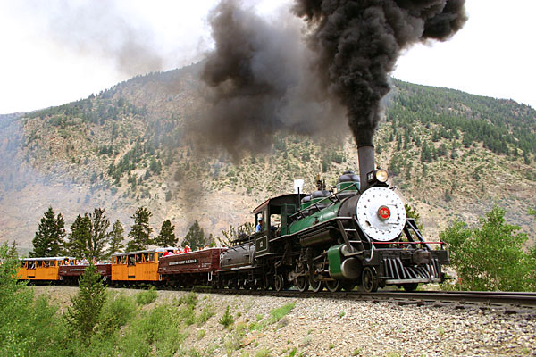
Between Bailey and Nathrop, south of Buena Vista, Colorado, this highway follows the old Denver, South Park and Pacific Railroad (D&SPRR) route. Back in the day, this route passed through the historic community of Como, which was the hub for the D&SPRR, and the junction point of three main lines: from Denver to Como across Kenosha Pass; from Como to Leadville via Boreas and Fremont Passes; and from Como to Gunnison and beyond via Trout Creek Pass. This junction was invaluable for transferring ore and people during the Colorado mining era.
All these passes are high mountain pass routes with most elevations above 10,000 feet.
- Kenosha Pass – 10,001’
- Boreas Pass – 11,481’
- Fremont Pass – 11,318’
- Trout Creek Pass – 9,346’
Pioneer Route – Highway 285
Previous to the railroad era, the 285 route out of Denver to South Park, was a stagecoach route. It was popular with early pioneers looking to stake their claim in the gold and silver mines of that region.
Today, 285 out of Denver is still the major thoroughfare into South Park and continues on to Salida and south into New Mexico. It’s also a very scenic drive with several byways along the way.


